View current bins
Main menu
  • Search
  • About
  • News
  • Services
  • Contact
Secondary Menu
  • Log in
  • Register

Video URL
Add to clip bin

Download Preview

13162_28937_mexican_war2
Subjects
U.S. Geography
History

Keywords
animated map,
United States,
Mexico,
Mexico City,
French,
Louisiana,
republic of texas,
Texas,
1714
1966
Color

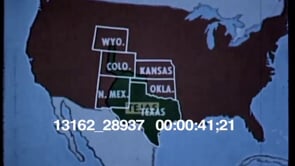
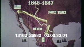
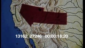
Animated map of the United States, Mexico, Mexico City, French Louisiana and the Republic of Tejas (Texas). The year 1714 and an arrow indicate the year a French merchant went from Louisiana into Tejas.


Related Clips


Add to clip bin

1960s

13162_28937_mexican_war1

Animated map of the United States. The Republic of Texas or Tejas is…
Add to clip bin

1970s

13162_26930_texas_expansion1

Animated map of the United States. A white line indicates the Mexican and…
Add to clip bin

1970s

13162_27246_cal_exped

Animated map of the United States. What was Mexican property before the…
Add to clip bin

1960s

90003_7591_05

Man in straw hat wades through tall grass to encounter horse-pulled…

Stay Connected

  • Follow us on Facebook
  • Follow us on Twitter
  • Follow us on Instagram
  • Contact Us

All contents © 2025 . All Rights Reserved.

Footer menu
  • Privacy Policy
  • Terms of Use